
Search QR Codes…My ICQR
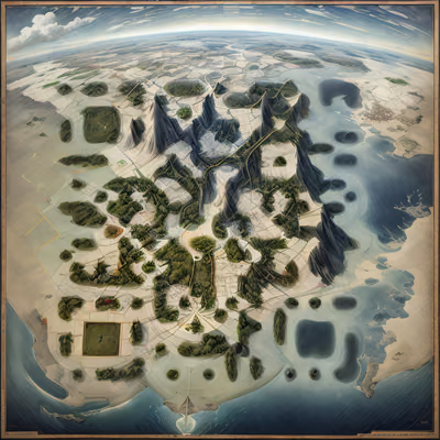
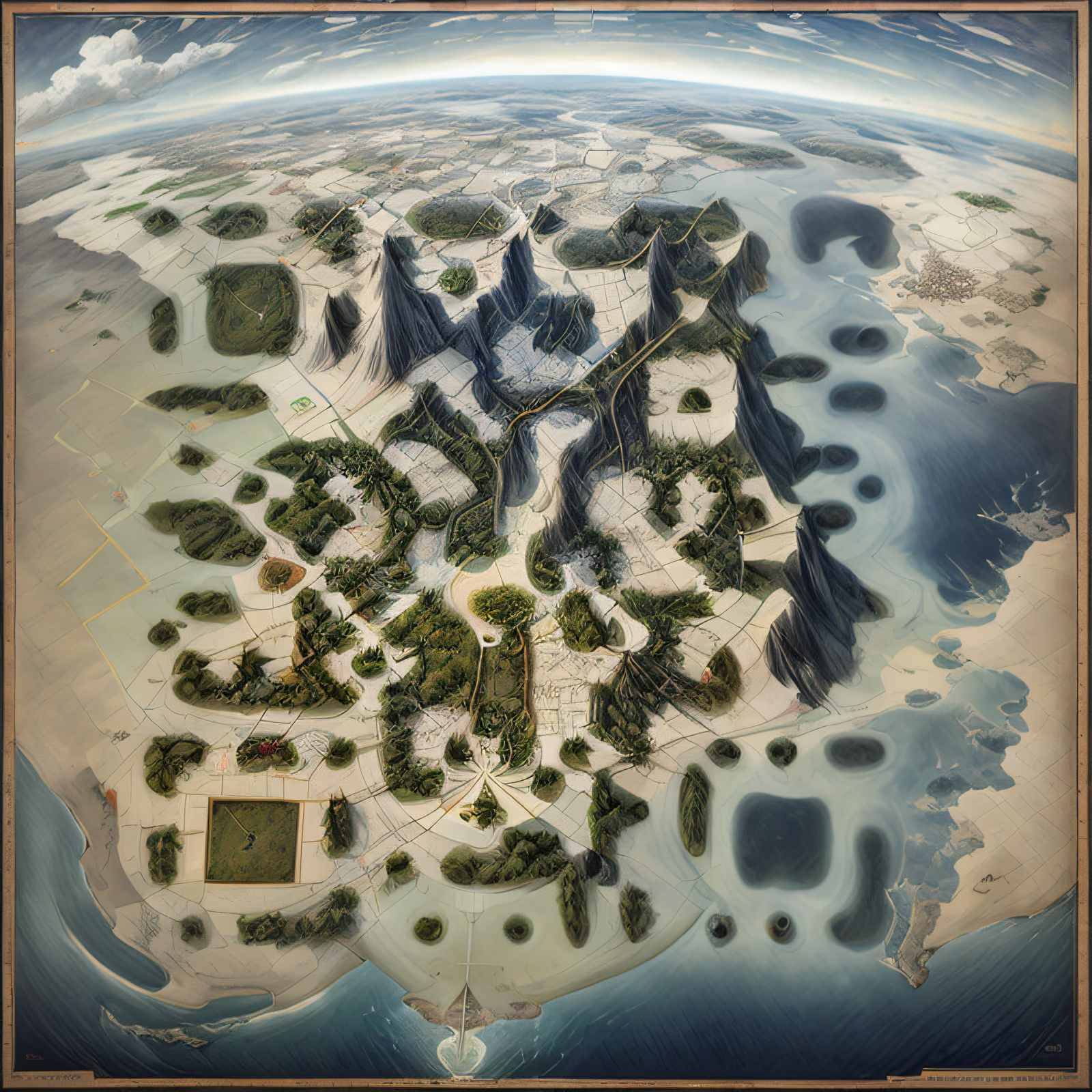
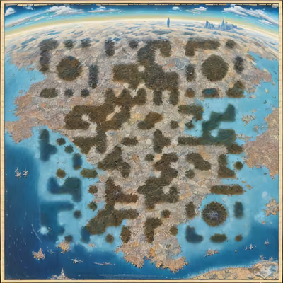
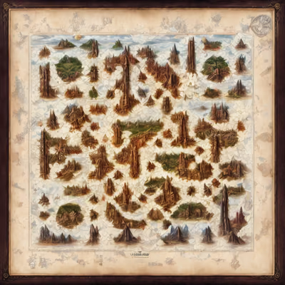
An aerial map of a mountainous continent, with dark jagged ridges, olive forest patches and thin roads laid over pale land, edged by blue ocean beneath a curved, cloudy horizon. The finder squares are hidden in rounded forest clusters and dark lagoon shapes, while the modules are carried by the road grid, field boundaries and ridgelines. Strong contrast between the dark slate peaks and the cream terrain keeps the pattern legible across the whole sheet. A thin wooden frame gives it the look of an old atlas plate.
ICQR gallery
Thousands of artistic QR codes, sorted by style, industry and use case. Find a look you love and make it yours.